
Quick answer
On the map, Sri Lanka's airport and Colombo sit on the west coast; the Cultural Triangle, with Sigiriya, Dambulla, Anuradhapura and Polonnaruwa, lies in the north-centre; Kandy is in the middle; the hills, with Nuwara Eliya and Ella, rise in the south-centre; Yala is in the south-east corner; Galle and Mirissa are on the south coast; Trincomalee and Arugam Bay are on the east coast; and Jaffna is at the northern tip.
Key takeaways
- Sri Lanka is roughly 430 kilometres north to south and 225 kilometres wide.
- The mountains sit south of centre, so north-south travel goes around or over them.
- The airport is roughly 30 to 45 minutes north of Colombo.
- Kandy is roughly in the middle, three to four hours from most corners of the core circuit.
- Drive times are longer than map distances suggest.
The shape of the island
Sri Lanka is roughly 430 kilometres from north to south and roughly 225 kilometres at its widest. The central mountains rise south of centre, with peaks above 2,000 metres. North of them, the land is flat and dry; south and west, it is lower, wetter and greener.
This shape explains most travel patterns. Roads from the west coast climb into the hills slowly, and getting from the hills to the east or south coast means winding descents. The flat north is quicker to cross.
The coast runs right round the island, with the west and south facing one monsoon and the east the other.
- →North: flat and dry.
- →South-centre: mountains.
- →Coast: all round, two seasons.
The west: airport, Colombo and the coast
Bandaranaike International Airport lies at Katunayake, near Negombo, roughly 30 to 45 minutes north of Colombo by expressway. Colombo sits on the west coast, with Mount Lavinia just south.
The west coast continues south to Kalutara, Beruwala and Bentota, roughly two hours from the airport. Inland from Colombo, the road and railway climb east towards Kandy.
- →Airport: Katunayake, near Negombo.
- →Colombo: the west coast.
- →Bentota: roughly two hours south.
The centre: Cultural Triangle, Kandy and hills
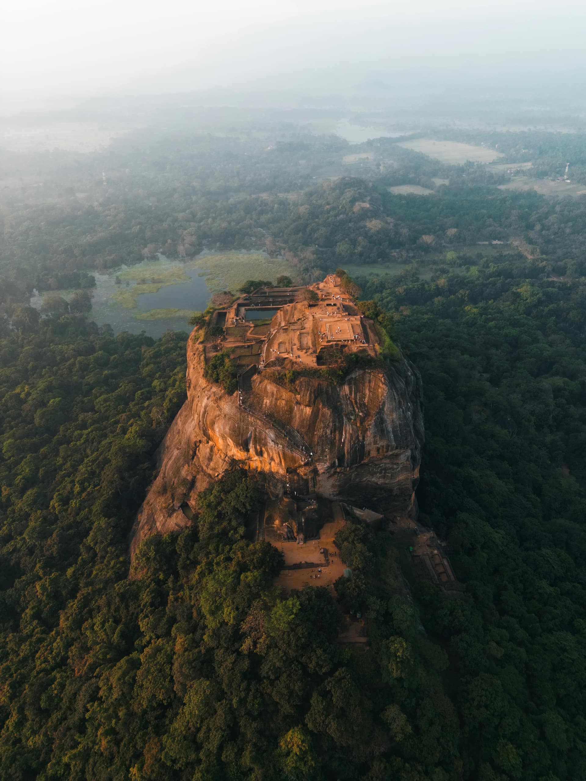
The Cultural Triangle lies north-east of Colombo, in the dry north-central plains: Dambulla and Sigiriya roughly four hours from the airport, Polonnaruwa east of them and Anuradhapura to the north-west. Kandy sits south of the triangle, roughly in the middle of the island.
The hill country rises south and east of Kandy: Nuwara Eliya and Horton Plains in the high centre, Hatton and Adam's Peak to the west, and Ella, Haputale and Badulla on the eastern edge, looking down over the plains towards the south-east.
Lankan Stays & Trails often explains a route on a map before anything else, because seeing the shape of the island makes the drive times make sense.
- →Sigiriya and Dambulla: north-centre.
- →Kandy: the middle.
- →Ella: the south-eastern edge of the hills.
The south and south-east
The south coast runs east from Galle, roughly two to three hours from Colombo by expressway, through Unawatuna, Weligama, Mirissa and Matara to Tangalle and Hambantota. Inland from Tangalle, the land dries out towards Tissamaharama and Yala in the south-east corner.
Udawalawe lies inland, between the hills and the south coast. Sinharaja rainforest is west of it, in the wet south-west interior.
- →Galle: south-west corner.
- →Yala: south-east corner.
- →Udawalawe: between the hills and the coast.
The east and north
The east coast runs from Trincomalee in the north-east, roughly three hours from Sigiriya, south through Pasikudah and Batticaloa to Arugam Bay, roughly three hours east of Ella.
Jaffna is at the northern tip, roughly seven to eight hours from Colombo, with Mannar on the north-west coast and Kalpitiya and Wilpattu between Colombo and Mannar.
- →Trincomalee: north-east.
- →Arugam Bay: south-east coast.
- →Jaffna: the northern tip.
How the map shapes routes
The map explains why most routes form a loop. Starting at the airport, travellers head north-east to the Cultural Triangle, south to Kandy, up into the hills, down to the south-east for a safari and then west along the south coast back towards Colombo. This avoids backtracking.
In summer, the loop bends east instead, from the Cultural Triangle to Trincomalee or from Ella to Arugam Bay. Jaffna sits so far north that it usually needs its own leg, linked to Anuradhapura or Trincomalee.
Looking at these legs on a map before booking saves a lot of wasted driving.
- →Winter loop: triangle, hills, safari, south coast.
- →Summer loop: triangle, hills, east coast.
- →Jaffna: its own leg.
Frequently asked questions
How big is Sri Lanka?
Sri Lanka is roughly 430 kilometres from north to south and roughly 225 kilometres at its widest, with an area of around 65,000 square kilometres. Mountains in the south-centre and winding roads make travel times longer than the size suggests.
Where is Sigiriya on the map?
Sigiriya is in the north-centre of Sri Lanka, in the dry plains of the Cultural Triangle, roughly four hours by road north-east of the airport. Dambulla is roughly 30 minutes south-west of it, and Polonnaruwa roughly an hour east.
Where is Ella on the map?
Ella is on the south-eastern edge of Sri Lanka's hill country, in Uva Province. It is roughly six to seven hours from Kandy by train, roughly two to three hours from Yala and roughly three hours from Arugam Bay.
How far is Colombo from Kandy?
Kandy is roughly 115 kilometres from Colombo, a drive of roughly three to four hours depending on traffic and route. The train takes roughly two and a half to three hours. Newer expressway sections are shortening the drive.
Is Galle near Colombo?
Galle is roughly 120 kilometres south of Colombo, roughly two hours by the Southern Expressway or two to three hours by the coastal railway. It is roughly two and a half to three hours from the airport.
Where is Yala on the map?
Yala National Park is in the south-east corner of Sri Lanka, near Tissamaharama and Kirinda. It is roughly two to three hours from Ella, roughly two hours from Mirissa and roughly five to six hours from Colombo.
Is Sri Lanka easy to get around?
Sri Lanka is easy to get around with a car and driver, and trains and buses link most main towns. Distances are short on the map but drive times are long because of mountains, winding roads and traffic. Plan for roughly 40 to 50 kilometres per hour on average.