
Quick answer
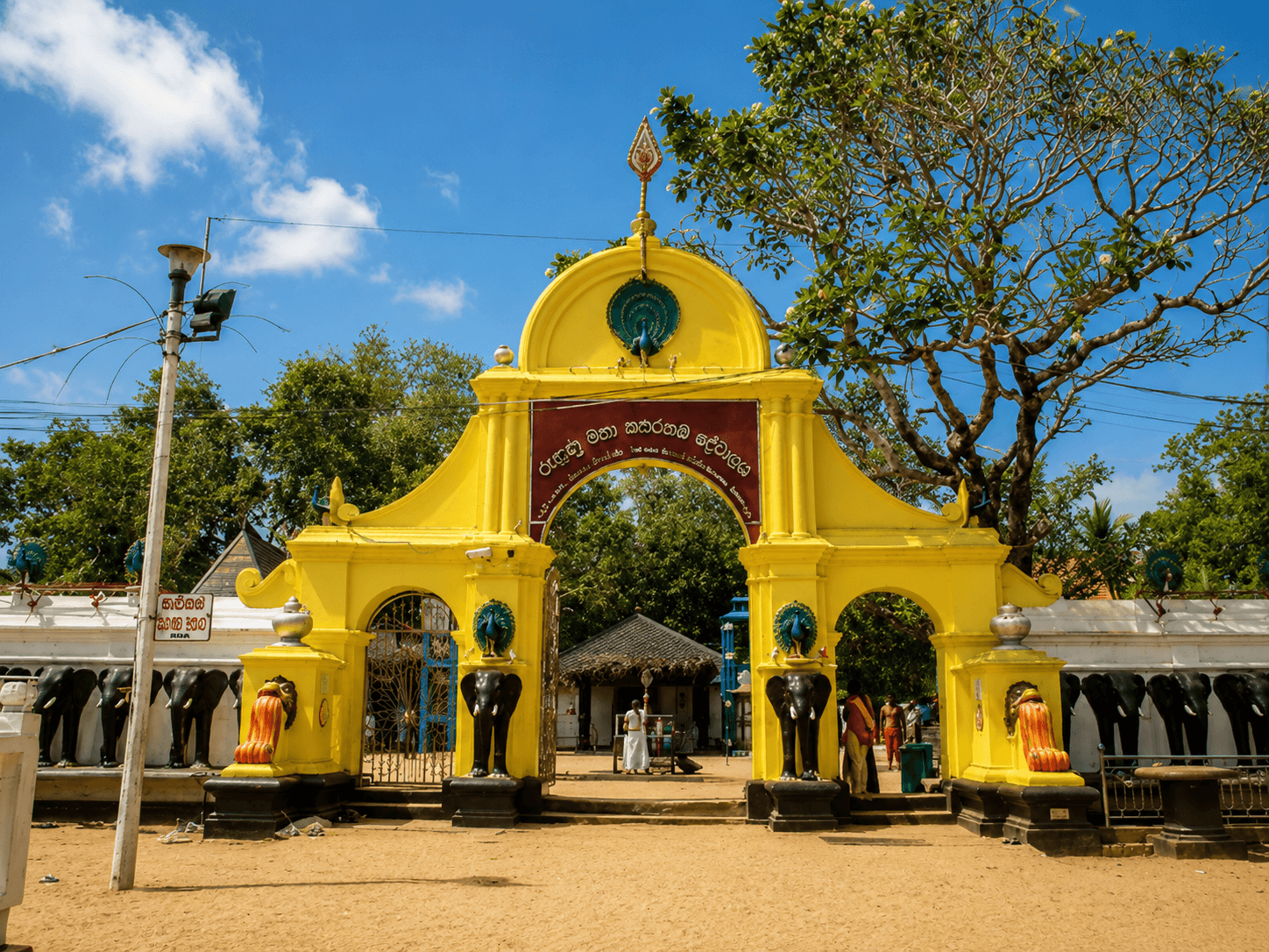
Ruhuna was the ancient kingdom of southern Sri Lanka, with its capital at Magama, today's Tissamaharama, roughly 30 to 45 minutes from Yala's main gate. The land now inside Yala National Park was farmed, irrigated from tanks and dotted with Buddhist monasteries in the kingdom's time, and ruins such as Sithulpawwa rock monastery still stand in the park. Ruhuna is remembered as the home of King Dutugemunu, and Yala's official name is Ruhuna National Park.
Key takeaways
- Magama, Ruhuna's capital, stood where Tissamaharama is today, and the town's great stupa and Tissa Wewa tank date from that period.
- Ruhuna is remembered in the chronicles as the kingdom of Kavantissa and his son Dutugemunu, who went north to unite the island.
- Sithulpawwa rock monastery, inside the Yala protected area, is believed to date back roughly to the 2nd century BCE.
- Ancient tank bunds and stupa mounds survive inside Yala's Block I, showing the land was once farmed and settled.
- Yala's official name, Ruhuna National Park, keeps the memory of the kingdom whose territory it covers.
What the kingdom of Ruhuna was
Ruhuna was the southern of the ancient Sri Lankan kingdoms, covering much of what is now the Southern and Uva provinces. It was often separate from the northern kingdom based at Anuradhapura, and in times of trouble it was where rulers and claimants retreated to gather strength.
The kingdom's capital was Magama, on the site of modern Tissamaharama. The plains around it, including land now inside Yala National Park, were irrigated from tanks and farmed for rice. Ruhuna was not wild country in its own day; it was a settled, productive heartland.
- →Region: the south and south-east of the island.
- →Capital: Magama, today's Tissamaharama.
- →Economy: rice irrigated from tanks such as Tissa Wewa.
Kavantissa, Viharamahadevi and Dutugemunu
Ruhuna's best-known story belongs to King Kavantissa, his queen Viharamahadevi and their son Dutugemunu. Tradition holds that Viharamahadevi came ashore at Kirinda, on the coast just west of Yala, after being set adrift at sea, and that the royal wedding took place at what is now Magul Maha Viharaya on the east road.
Dutugemunu grew up in Ruhuna and later marched north, defeated King Elara and united the island in the 2nd century BCE, according to the Mahavamsa. He is remembered as one of Sri Lanka's great kings, and his story is still told across the south.
Ruhuna's ruins inside Yala National Park
Ruins from the Ruhuna period survive throughout the Yala complex. In Block I, trackers can point out stupa mounds, brick foundations and the bunds of small ancient tanks, some of which now serve as waterholes for wildlife. Cave shelters with drip ledges show where monks once lived.
The largest site is Sithulpawwa rock monastery, a group of caves, stupas and shrines on granite outcrops within the protected area, reached by road rather than on safari. It is still an active place of worship and has its own page in this guide.
- →Stupa mounds and brick foundations in Block I.
- →Ancient tank bunds, some now wildlife waterholes.
- →Cave shelters with drip ledges used by monks.
- →Sithulpawwa rock monastery, visited by road.
Why Ruhuna went back to the forest
Over the following centuries, the centres of Sri Lankan power moved north to Anuradhapura and Polonnaruwa, then west and into the hills. Much of the south-east lost population, the tanks fell out of repair and forest grew back over the fields.
Historians point to several causes together: war, the shifting of royal capitals, the decay of irrigation and, later, malaria in the dry zone. By the time British hunters arrived in the nineteenth century, the land looked like ancient wilderness, though it had been farmland not so long before.
Seeing ancient Ruhuna on a Yala trip
Ruhuna is easy to add to a Yala stay. Tissamaharama's great white stupa, the Yatala and Sandagiri stupas and Tissa Wewa itself are all within a few minutes of most hotels. Sithulpawwa makes a fine early morning, and Kirinda's rock temple marks Viharamahadevi's landing.
Lankan Stays & Trails often uses the quiet hours between safaris for exactly this, so that a Yala stay includes the people who shaped the land as well as the animals that live on it now.
- →Tissamaharama stupa, Yatala and Sandagiri: in town, minutes from most hotels.
- →Tissa Wewa: the ancient tank, best at sunset.
- →Sithulpawwa: an early morning outside the park gates.
- →Kirinda rock temple: the legend of Viharamahadevi.
Frequently asked questions
What was the kingdom of Ruhuna?
Ruhuna was the ancient kingdom of southern Sri Lanka, with its capital at Magama, today's Tissamaharama. It was often separate from the northern kingdom at Anuradhapura, and it is remembered as the home of King Dutugemunu, who united the island in the 2nd century BCE.
Where was the capital of Ruhuna?
Ruhuna's capital was Magama, on the site of modern Tissamaharama, roughly 30 to 45 minutes from Yala's Palatupana gate. The town's great stupa and the Tissa Wewa tank date from the kingdom's time and can be seen on a short visit.
Are there ancient ruins in Yala?
Yes. Stupa mounds, brick foundations, cave shelters and ancient tank bunds survive inside Yala, especially in Block I, and trackers can point them out. Sithulpawwa rock monastery lies within the protected area and is visited by road rather than on safari.
Why is Yala called Ruhuna National Park?
Yala lies within the territory of the ancient kingdom of Ruhuna, and Ruhuna National Park is its official name in some records. Almost everyone, including park staff and drivers, calls it Yala, and both names refer to the same park.
Who was King Dutugemunu?
Dutugemunu was a prince of Ruhuna, son of King Kavantissa and Queen Viharamahadevi, who according to the Mahavamsa marched north, defeated King Elara and united Sri Lanka in the 2nd century BCE. He later built the Ruwanwelisaya stupa at Anuradhapura.
Was Yala always a forest?
No. Much of the land inside Yala was farmed and settled in the time of the kingdom of Ruhuna, irrigated from tanks whose bunds still survive. It returned to forest over the following centuries as people left, and was a hunting ground before it became a park.